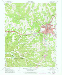
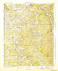
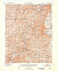
1963 Map of Rolla
USGS Topo · Published 1977About this map
The campus of the Univ Of Missouri-Rolla serves as a focal point for this mid-century look at the Phelps County seat. The town is depicted in its era of peak railroad activity along the St Louis-San Francisco RR, which cuts diagonally through the urban center near the local Courthouse and Rolla High School. To the south and west, the landscape transitions into the rugged terrain of the Mark Twain National Forest, where the topography is defined by significant features like Point Bluff Cave and Poole Hollow.
Find a feature on this map
71 named features on this map. Tap any name to fly to it.
Don’t see what you’re looking for? This feature index may not catch every label — zoom into the map to look around manually.
Map Details
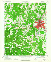
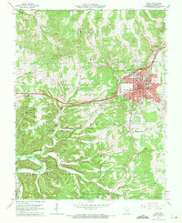
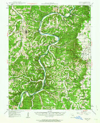
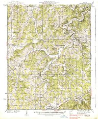
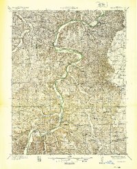
Editions of this 1963 Rolla Map
3 editions found
Other maps of this area
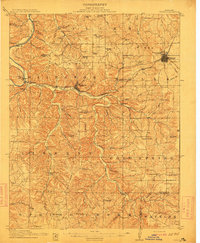
1912 · Rolla
USGS Topo · 1:62,500
1928 · Meramec Spring
USGS Topo · 1:62,500

1934 · Redbird
USGS Topo · 1:62,500
1937 · Vienna
USGS Topo · 1:62,500
1938 · Redbird
USGS Topo · 1:62,500
1938 · Vienna
USGS Topo · 1:48,000

1949 · Saint Louis
USGS Topo · 1:250,000
1949 · Vienna
USGS Topo · 1:62,500

1949 · Rolla
USGS Topo · 1:250,000
1949 · Meramec Spring
USGS Topo · 1:62,500