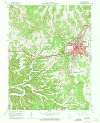
1963 Map of Rolla
USGS Topo · Published 1971About this map
Rolla sits at a crossroads of Missouri education and industry, serving as the home to the Missouri School of Mines and a regional hub for the St Louis-San Francisco railroad. The landscape is defined by the sharp transition from the urban grid—with its many neighborhood schools like Mark Twain Sch and Wyman Sch—to the deeply dissected topography of the Mark Twain National Forest. This 1963 revision documents the mid-century expansion of the city alongside traditional rural fixtures like the Roach Union Ch and numerous family cemeteries, including Strawhun Cem and Wiese Cem.
Find a feature on this map
82 named features on this map. Tap any name to fly to it.
Don’t see what you’re looking for? This feature index may not catch every label — zoom into the map to look around manually.
Map Details
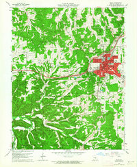
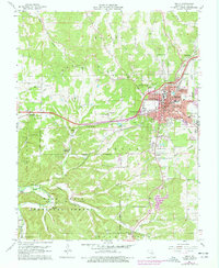
Editions of this 1963 Rolla Map
3 editions found
Other maps of this area

1912 · Rolla
USGS Topo · 1:62,500

1928 · Meramec Spring
USGS Topo · 1:62,500

1934 · Redbird
USGS Topo · 1:62,500

1937 · Vienna
USGS Topo · 1:62,500

1938 · Redbird
USGS Topo · 1:62,500

1938 · Vienna
USGS Topo · 1:48,000

1949 · Saint Louis
USGS Topo · 1:250,000

1949 · Vienna
USGS Topo · 1:62,500

1949 · Rolla
USGS Topo · 1:250,000

1949 · Meramec Spring
USGS Topo · 1:62,500