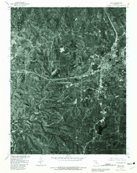
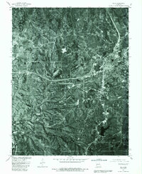
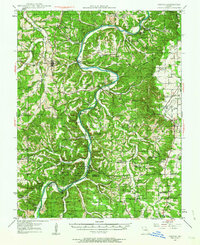
1980 Map of Rolla
USGS Topo · Published 1981About this map
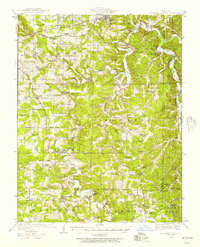
Rolla serves as the focal point of this 1980 orthophotoquad, showing the dense grid of the city's residential and commercial core as it expanded during the late twentieth century. This photographic survey, produced by the Geological Survey in cooperation with the Soil Conservation Service, uses an aerial image taken in April 1980 to provide a detailed view of the regional infrastructure. The major highway corridor connects the settlement of Doolittle in the west to the larger urban area of Rolla, while Northwye marks a significant junction to the north. South of these developed areas, the terrain shifts into the drainage basin of Little Piney Creek. The imagery reveals a landscape of wooded hills and cleared agricultural plots, offering a clear visual contrast between the burgeoning towns and the rural Missouri countryside.
Find a feature on this map
7 named features on this map. Tap any name to fly to it.
Don’t see what you’re looking for? This feature index may not catch every label — zoom into the map to look around manually.
Map Details
Editions of this 1980 Rolla Map
2 editions found
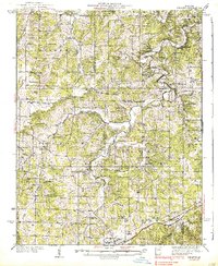
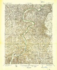
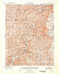
Other maps of this area
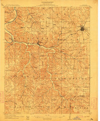
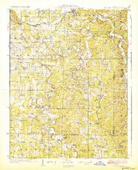
1912 · Rolla
USGS Topo · 1:62,500
1928 · Meramec Spring
USGS Topo · 1:62,500

1934 · Redbird
USGS Topo · 1:62,500
1937 · Vienna
USGS Topo · 1:62,500
1938 · Redbird
USGS Topo · 1:62,500
1938 · Vienna
USGS Topo · 1:48,000

1949 · Saint Louis
USGS Topo · 1:250,000
1949 · Vienna
USGS Topo · 1:62,500

1949 · Rolla
USGS Topo · 1:250,000
1949 · Meramec Spring
USGS Topo · 1:62,500