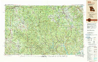
1989 Map of Rolla
USGS Topo · Published 1989About this map
The Ozark Plateau and the ancient granite peaks of the St Francois Mountains dominate this late-twentieth-century landscape, capturing a region defined by its protected waterways and timberlands. The survey highlights the significant footprint of Fort Leonard Wood in the west, while the eastern portion reveals the complex mineral and timber country around Potosi, Ironton, and Fredericktown. Large-scale water management and recreation are evident at Lake Wappapello and Clearwater Lake, alongside the preservation of free-flowing streams within the Ozark National Scenic Riverways.
Find a feature on this map
68 named features on this map. Tap any name to fly to it.
Don’t see what you’re looking for? This feature index may not catch every label — zoom into the map to look around manually.
Map Details
Editions of this 1989 Rolla Map
This is the sole edition of this map. No revisions or reprints were ever made.
Other maps of this area

1888 · Tuscumbia
USGS Topo · 1:125,000

1894 · Tuscumbia
USGS Topo · 1:125,000

1901 · De Soto
USGS Topo · 1:125,000

1903 · Sullivan
USGS Topo · 1:125,000
1904 · Farmington
USGS Topo · 1:62,500
1905 · Bonneterre
USGS Topo · 1:62,500
1906 · Potosi
USGS Topo · 1:62,500
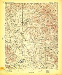
1906 · Farmington
USGS Topo · 1:62,500
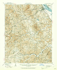
1907 · Weingarten
USGS Topo · 1:62,500
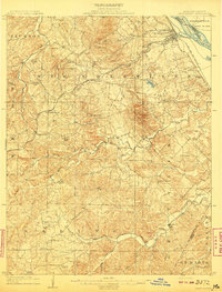
1909 · Weingarten
USGS Topo · 1:62,500