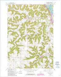
1972 Map of Rollingstone
USGS Topo · Published 1993About this map
Rollingstone and its surrounding valleys are defined by the winding course of Rollingstone Creek and the steep elevation changes of the Driftless Area. This 1970s landscape, later revised in the early 1990s, shows the interaction between the Chicago And North Western railroad and the tight valley floors. Smaller communities like Minnesota City and Stockton are positioned along these natural corridors, while the higher elevations of German Ridge and Mount Vernon remain dominated by the Richard J Dorer Memorial Hardwood State Forest. Cultural landmarks such as the Immanuel Sch and Mecklenburg Cem reflect the rural development of these townships. To the northeast, the map transitions into the Mississippi River floodplain, where Duck Slough and Island No 60 are part of the Upper Mississippi River Wild Life And Fish Refuge, indicating a shift from agricultural and forest land to riverine conservation areas.
Find a feature on this map
35 named features on this map. Tap any name to fly to it.
Don’t see what you’re looking for? This feature index may not catch every label — zoom into the map to look around manually.
Map Details
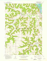
Editions of this 1972 Rollingstone Map
2 editions found
Other maps of this area

1929 · Fountain City
USGS Topo · 1:62,500

1932 · Cochrane
USGS Topo · 1:62,500

1934 · Winona
USGS Topo · 1:62,500

1934 · Cochrane
USGS Topo · 1:62,500

1937 · Winona
USGS Topo · 1:62,500

1937 · Cochrane
USGS Topo · 1:62,500

1953 · Eau Claire
USGS Topo · 1:250,000

1954 · Lewiston
USGS Topo · 1:62,500

1958 · Eau Claire
USGS Topo · 1:250,000

1958 · Houston
USGS Topo · 1:62,500