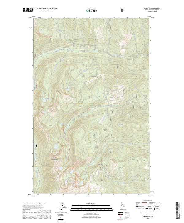
2024 Map of Roman Nose
USGS Topo · Published 2024About this map
Kaniksu National Forest defines this high-elevation landscape, where the Selkirk Mountains of northern Idaho create a complex network of granite peaks and alpine basins. The prominent summit of Roman Nose serves as a geographic anchor for the region, overlooking the Roman Nose Lakes and the winding Roman Nose Interpretive Loop Trail. To the north and west, the terrain is carved by numerous watercourses including the Pack River, Myrtle Creek, and Snow Creek.
Find a feature on this map
47 named features on this map. Tap any name to fly to it.
Don’t see what you’re looking for? This feature index may not catch every label — zoom into the map to look around manually.
Map Details
Editions of this 2024 Roman Nose Map
This is the sole edition of this map. No revisions or reprints were ever made.
Other maps of this area

1911 · Priest Lake
USGS Topo · 1:250,000

1913 · Priest Lake
USGS Topo · 1:250,000

1958 · Sandpoint
USGS Topo · 1:250,000

1963 · Sandpoint
USGS Topo · 1:250,000

1965 · Farnham Peak
USGS Topo · 1:24,000

1965 · Moravia
USGS Topo · 1:24,000

1965 · Naples
USGS Topo · 1:24,000

1967 · The Wigwams
USGS Topo · 1:24,000
1967 · Roman Nose
USGS Topo · 1:24,000

1967 · Mount Roothaan
USGS Topo · 1:24,000