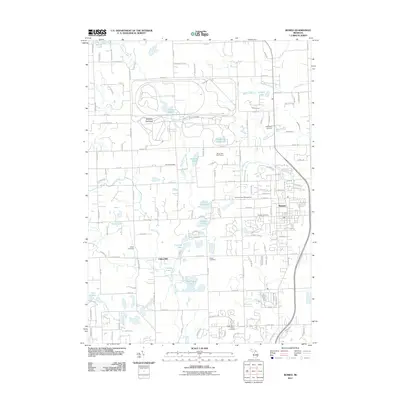
2011 Map of Romeo
USGS Topo · Published 2011About this map
Romeo stands as a central hub in this northern Macomb County landscape, where the residential grids of the village meet the winding waterways and glacial terrain of the surrounding township. The area is defined by a dense network of small lakes and drainage systems, including Inwood Lake, Cusick Lake, and East Mill Lake, which feed into larger arteries like East Pond Creek and Stony Creek. This watery geography influenced the early placement of industry and small settlements, such as the site of Clifton Mill.
Find a feature on this map
123 named features on this map. Tap any name to fly to it.
Don’t see what you’re looking for? This feature index may not catch every label — zoom into the map to look around manually.
Map Details
Editions of this 2011 Romeo Map
This is the sole edition of this map. No revisions or reprints were ever made.
Other maps of this area

1908 · Rochester
USGS Topo · 1:62,500

1912 · Mt Clemens
USGS Topo · 1:62,500

1914 · Armada
USGS Topo · 1:62,500

1928 · Armada
USGS Topo · 1:62,500

1929 · Mt Clemens
USGS Topo · 1:62,500

1936 · Rochester
USGS Topo · 1:31,680

1936 · Washington
USGS Topo · 1:31,680

1936 · Waldenburg
USGS Topo · 1:31,680

1943 · Lake Orion
USGS Topo · 1:24,000

1943 · Romeo
USGS Topo · 1:24,000
Featured Places
- Washington Charter Township, MI
- Oakland Charter Township, MI
- Addison Township, MI
- Romeo, MI
- Clifton Mill, Washington Charter Township