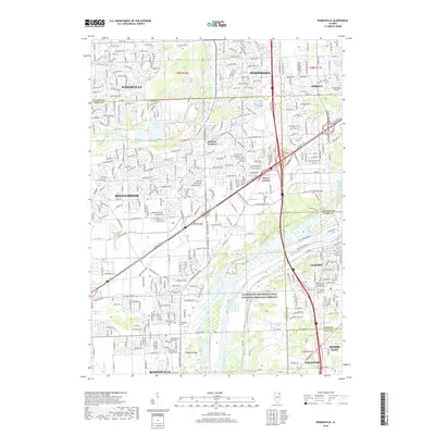
2018 Map of Romeoville
USGS Topo · Published 2018About this map
Naperville, Bolingbrook, and Romeoville dominate this 2018 landscape, illustrating the modern suburban density of the southwest Chicago metropolitan area. The Des Plaines River serves as a primary geographic anchor, paralleled by the Illinois and Michigan Canal National Heritage Corridor, which preserves the vital 19th-century transport link that once connected the Great Lakes to the Mississippi River system.
Find a feature on this map
43 named features on this map. Tap any name to fly to it.
Don’t see what you’re looking for? This feature index may not catch every label — zoom into the map to look around manually.
Map Details
Editions of this 2018 Romeoville Map
This is the sole edition of this map. No revisions or reprints were ever made.
Other maps of this area

1890 · Des Plaines
USGS Topo · 1:62,500

1891 · Riverside
USGS Topo · 1:62,500

1892 · Joliet
USGS Topo · 1:62,500

1893 · Riverside
USGS Topo · 1:62,500

1894 · Des Plaines
USGS Topo · 1:62,500

1900 · Des Plaines
USGS Topo · 1:62,500

1900 · Riverside
USGS Topo · 1:62,500

1901 · Des Plaines
USGS Topo · 1:62,500

1901 · Riverside
USGS Topo · 1:62,500

1908 · Wheaton
USGS Topo · 1:62,500