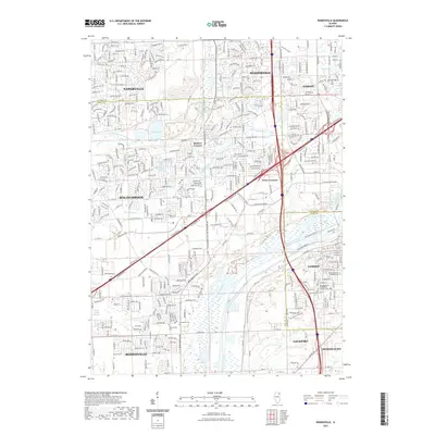
2021 Map of Romeoville
USGS Topo · Published 2021About this map
The Des Plaines River corridor anchors this modern survey, marking a distinct industrial and geological boundary between the expanding suburbs of Bolingbrook and the older river-town foundations of Lemont and Romeoville. The landscape is a complex intersection of natural waterways like Lily Cache Cr and man-made infrastructure, including Whalon Lake and the dense network of Internationale Pkwy.
Find a feature on this map
59 named features on this map. Tap any name to fly to it.
Don’t see what you’re looking for? This feature index may not catch every label — zoom into the map to look around manually.
Map Details
Editions of this 2021 Romeoville Map
This is the sole edition of this map. No revisions or reprints were ever made.
Other maps of this area

1890 · Des Plaines
USGS Topo · 1:62,500

1891 · Riverside
USGS Topo · 1:62,500

1892 · Joliet
USGS Topo · 1:62,500

1893 · Riverside
USGS Topo · 1:62,500

1894 · Des Plaines
USGS Topo · 1:62,500

1900 · Des Plaines
USGS Topo · 1:62,500

1900 · Riverside
USGS Topo · 1:62,500

1901 · Des Plaines
USGS Topo · 1:62,500

1901 · Riverside
USGS Topo · 1:62,500

1908 · Wheaton
USGS Topo · 1:62,500