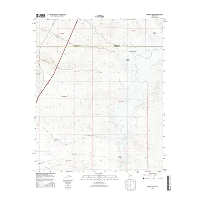
2013 Map of Romero Canyon
USGS Topo · Published 2013About this map
The Rio Grande cuts through this arid landscape on the border of Socorro and Sierra counties, creating a dramatic corridor defined by numerous tributary drainages. The river's path is constrained at the Narrows, a distinctive geological bottleneck south of where the San Jose Arroyo meets the main channel. The terrain is deeply incised by a series of significant canyons, including Nogal Canyon, Chaunte Canyon, and Romero Canyon, which reflect the complex erosion patterns of the high desert.
Find a feature on this map
23 named features on this map. Tap any name to fly to it.
Don’t see what you’re looking for? This feature index may not catch every label — zoom into the map to look around manually.
Map Details
Editions of this 2013 Romero Canyon Map
This is the sole edition of this map. No revisions or reprints were ever made.
Other maps of this area

1954 · Tularosa
USGS Topo · 1:250,000

1958 · Tularosa
USGS Topo · 1:250,000

1961 · Huerfano Hill
USGS Topo · 1:24,000

1961 · Sierra Fijardo
USGS Topo · 1:24,000

1961 · Paraje Well
USGS Topo · 1:24,000

1961 · Black Bluffs
USGS Topo · 1:24,000

1961 · Black Hill
USGS Topo · 1:24,000

1961 · Crocker
USGS Topo · 1:24,000

1961 · Lava
USGS Topo · 1:24,000

1961 · Romero Canyon
USGS Topo · 1:24,000