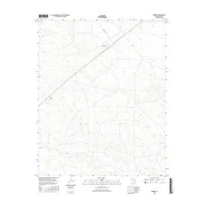
2016 Map of Romero
USGS Topo · Published 2016About this map
Romero serves as the focal point of this Panhandle landscape, where the High Plains topography is defined by the drainage systems of the Canadian River basin. The area is characterized by intermittent water sources such as Bull Spring and the winding course of Minneosa Cr, which carves through the undulating terrain. To the west, the namesake Sand Hills provide a distinct geological contrast, marking a region of shifting sediments and localized relief. The infrastructure is primarily composed of isolated ranch roads and state routes, including Ranch Rd 3296 and Fm 767, which connect the remote ranching operations of Hartley County. This survey highlights the sparse but essential water network, including Spring Cr, that has historically dictated the settlement patterns and land use in this semi-arid portion of the Texas plains.
Find a feature on this map
8 named features on this map. Tap any name to fly to it.
Don’t see what you’re looking for? This feature index may not catch every label — zoom into the map to look around manually.
Map Details
Editions of this 2016 Romero Map
This is the sole edition of this map. No revisions or reprints were ever made.
Other maps of this area

1954 · Tucumcari
USGS Topo · 1:250,000

1958 · Tucumcari
USGS Topo · 1:250,000

1971 · Middle Water
USGS Topo · 1:24,000

1971 · Romero SE
USGS Topo · 1:24,000

1971 · Doyle Hill
USGS Topo · 1:24,000

1971 · Amistad SE
USGS Topo · 1:24,000

1971 · Nara Visa
USGS Topo · 1:24,000

1971 · Whiteaker Ranch
USGS Topo · 1:24,000

1971 · Knoblaw
USGS Topo · 1:24,000

1971 · Spring Creek Ranch
USGS Topo · 1:24,000