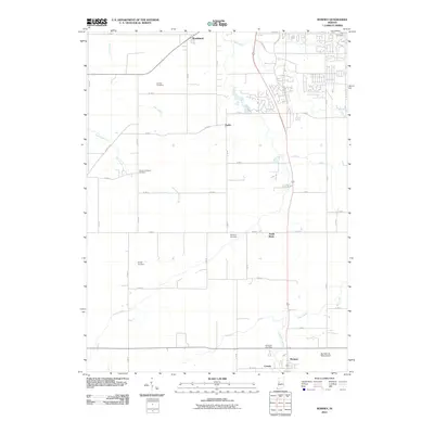
2010 Map of Romney
USGS Topo · Published 2010About this map
Romney and South Raub anchor this rural landscape in Tippecanoe County, where the agricultural character of the region is etched into the terrain through an extensive network of drainage ditches. The map reveals how local hydrology is managed via engineered waterways like Elliott Ditch, O'Neall Ditch, and Kellerman Leaming Ditch, which support the productive farmland surrounding the Agricultural Seed Airstrip. Family and community history is preserved in several small burial grounds scattered across the townships, including Farmers Institute Cemetery and Durkee Cemetery. Natural watercourses such as Wea Creek and Flint Creek meander through the grid-like road system, while the community of Shadeland sits at the northern edge. The transition between historic transit and modern infrastructure is visible along Old Romney Rd and Old US Hwy 231, which parallel newer thoroughfares near Corwin.
Find a feature on this map
52 named features on this map. Tap any name to fly to it.
Don’t see what you’re looking for? This feature index may not catch every label — zoom into the map to look around manually.
Map Details
Editions of this 2010 Romney Map
This is the sole edition of this map. No revisions or reprints were ever made.
Other maps of this area

1941 · Lafayette
USGS Topo · 1:24,000

1942 · Otterbein
USGS Topo · 1:24,000

1942 · Lafayette
USGS Topo · 1:24,000

1950 · Lafayette
USGS Topo · 1:24,000

1951 · Otterbein
USGS Topo · 1:24,000

1953 · Danville
USGS Topo · 1:250,000

1955 · Danville
USGS Topo · 1:250,000

1956 · Danville
USGS Topo · 1:250,000

1958 · Linden
USGS Topo · 1:24,000

1958 · Kirkpatrick
USGS Topo · 1:24,000