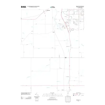
2013 Map of Romney
USGS Topo · Published 2013About this map
Shadeland and the surrounding agricultural lands of Tippecanoe County are defined by a complex network of drainage systems and small rural settlements in this 2013 survey. The landscape is heavily managed for agriculture, evidenced by the numerous engineered waterways such as Haywood Ditch, Elliott Ditch, and O'Neall Ditch that crisscross the terrain to support the fertile soil. These man-made channels complement natural watercourses like Little Wea Creek and Flint Creek, illustrating the long-term human modification of the local hydrology.
Find a feature on this map
88 named features on this map. Tap any name to fly to it.
Don’t see what you’re looking for? This feature index may not catch every label — zoom into the map to look around manually.
Map Details
Editions of this 2013 Romney Map
This is the sole edition of this map. No revisions or reprints were ever made.
Other maps of this area

1941 · Lafayette
USGS Topo · 1:24,000

1942 · Otterbein
USGS Topo · 1:24,000

1942 · Lafayette
USGS Topo · 1:24,000

1950 · Lafayette
USGS Topo · 1:24,000

1951 · Otterbein
USGS Topo · 1:24,000

1953 · Danville
USGS Topo · 1:250,000

1955 · Danville
USGS Topo · 1:250,000

1956 · Danville
USGS Topo · 1:250,000

1958 · Linden
USGS Topo · 1:24,000

1958 · Kirkpatrick
USGS Topo · 1:24,000