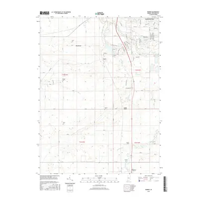
2016 Map of Romney
USGS Topo · Published 2016About this map
The agrarian landscape of Tippecanoe County is meticulously documented in this survey, showcasing the southern outskirts of Lafayette and the rural communities of Shadeland, Taylor, and Romney. The map reveals a complex network of drainage ditches, such as Elliott Ditch and Haywood Ditch, which were essential for transforming the local prairie into productive farmland. For family historians, the sheet is particularly valuable for its density of rural burial grounds, including the Durkee Cem, Hickory Grove Cem, and Farmers Institute Cem. These sites, often positioned near local waterways like Flint Cr and Wea Creek, mark the heritage of early Hoosier settlers. The survey also captures the local transportation and infrastructure of the modern era, from the residential subdivisions north of Taylor to the Ratcliff Airport located near the town of South Raub.
Find a feature on this map
74 named features on this map. Tap any name to fly to it.
Don’t see what you’re looking for? This feature index may not catch every label — zoom into the map to look around manually.
Map Details
Editions of this 2016 Romney Map
This is the sole edition of this map. No revisions or reprints were ever made.
Other maps of this area

1941 · Lafayette
USGS Topo · 1:24,000

1942 · Otterbein
USGS Topo · 1:24,000

1942 · Lafayette
USGS Topo · 1:24,000

1950 · Lafayette
USGS Topo · 1:24,000

1951 · Otterbein
USGS Topo · 1:24,000

1953 · Danville
USGS Topo · 1:250,000

1955 · Danville
USGS Topo · 1:250,000

1956 · Danville
USGS Topo · 1:250,000

1958 · Linden
USGS Topo · 1:24,000

1958 · Kirkpatrick
USGS Topo · 1:24,000