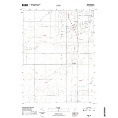
2019 Map of Romney
USGS Topo · Published 2019About this map
Lafayette extends its southern suburban reach into this portion of Tippecanoe County, where residential developments like those along W Admirals Pointe Dr meet the agricultural traditions of Taylor and Shadeland. The landscape is defined by a dense network of drainage and waterways, including Wea Creek, Flint Cr, and several man-made channels like Haywood Ditch and Kellerman Leaming Ditch that support the region's productive farmland.
Find a feature on this map
82 named features on this map. Tap any name to fly to it.
Don’t see what you’re looking for? This feature index may not catch every label — zoom into the map to look around manually.
Map Details
Editions of this 2019 Romney Map
This is the sole edition of this map. No revisions or reprints were ever made.
Other maps of this area

1941 · Lafayette
USGS Topo · 1:24,000

1942 · Otterbein
USGS Topo · 1:24,000

1942 · Lafayette
USGS Topo · 1:24,000

1950 · Lafayette
USGS Topo · 1:24,000

1951 · Otterbein
USGS Topo · 1:24,000

1953 · Danville
USGS Topo · 1:250,000

1955 · Danville
USGS Topo · 1:250,000

1956 · Danville
USGS Topo · 1:250,000

1958 · Linden
USGS Topo · 1:24,000

1958 · Kirkpatrick
USGS Topo · 1:24,000