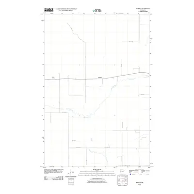
2010 Map of Ronald
USGS Topo · Published 2010About this map
Split Rock River and Birch Creek define the low-lying drainage patterns of this Aitkin County landscape, where the small settlement of Ronald sits along a simple grid of rural routes. The area is characterized by a sparse network of roads, including Wagon Wheel Rd and Kestrel Ave, which likely served as access points for local agriculture or timber during the early 21st century. For those researching local family history, the presence of Beaver Cemetery in the western portion of the quadrangle provides a specific point of interest for genealogical study. The map illustrates a transitional rural environment where natural waterways still dictate the placement of roads like Sand Hill Rd and Wilderness Rd, reflecting the quiet, undeveloped character of this part of Minnesota.
Find a feature on this map
21 named features on this map. Tap any name to fly to it.
Don’t see what you’re looking for? This feature index may not catch every label — zoom into the map to look around manually.
Map Details
Editions of this 2010 Ronald Map
This is the sole edition of this map. No revisions or reprints were ever made.
Other maps of this area

1953 · Duluth
USGS Topo · 1:250,000

1958 · Duluth
USGS Topo · 1:250,000

1961 · Cromwell
USGS Topo · 1:62,500

1961 · Moose Lake
USGS Topo · 1:62,500

1969 · Solana
USGS Topo · 1:24,000

1969 · Arthyde
USGS Topo · 1:24,000

1969 · Split Rock Lake
USGS Topo · 1:24,000

1969 · Ronald
USGS Topo · 1:24,000

1969 · Automba
USGS Topo · 1:24,000

1969 · Lawler
USGS Topo · 1:24,000