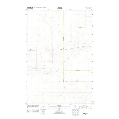
2013 Map of Ronald
USGS Topo · Published 2013About this map
Ronald sits at the convergence of three counties in central Minnesota, serving as a localized point of interest where the borders of Aitkin, Carlton, and Pine counties meet. The landscape is defined by the winding course of the Split Rock River and the smaller Birch Cr, which navigate the subtle topography of this region. Local transit and access are facilitated by state highway MN-27, which passes directly through the settlement of Ronald. The rural character of the area is further evidenced by family and place-named thoroughfares such as Sand Hill Rd and Wagon Wheel Rd, alongside the small Beaver Cem located west of the main settlement. This map provides a clear record of the intersection between political boundaries and the natural drainage patterns of the upper Midwest.
Find a feature on this map
14 named features on this map. Tap any name to fly to it.
Don’t see what you’re looking for? This feature index may not catch every label — zoom into the map to look around manually.
Map Details
Editions of this 2013 Ronald Map
This is the sole edition of this map. No revisions or reprints were ever made.
Other maps of this area

1953 · Duluth
USGS Topo · 1:250,000

1958 · Duluth
USGS Topo · 1:250,000

1961 · Cromwell
USGS Topo · 1:62,500

1961 · Moose Lake
USGS Topo · 1:62,500

1969 · Solana
USGS Topo · 1:24,000

1969 · Arthyde
USGS Topo · 1:24,000

1969 · Split Rock Lake
USGS Topo · 1:24,000

1969 · Ronald
USGS Topo · 1:24,000

1969 · Automba
USGS Topo · 1:24,000

1969 · Lawler
USGS Topo · 1:24,000