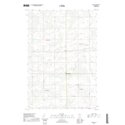
2019 Map of Ronald
USGS Topo · Published 2019About this map
Ronald sits at a geographic crossroads where Aitkin Co, Carlton Co, and Pine Co meet in a landscape defined by extensive wetlands and meandering waterways. The Split Rock River and Birch Cr wind through the township grids, reflecting the intricate drainage patterns of this Minnesota backcountry. This modern survey illustrates a network of rural routes and legacy paths such as Farm To Market Rd, Wagon Wheel Rd, and Settler Rd, names that echo the region's agricultural and homesteading origins.
Find a feature on this map
27 named features on this map. Tap any name to fly to it.
Don’t see what you’re looking for? This feature index may not catch every label — zoom into the map to look around manually.
Map Details
Editions of this 2019 Ronald Map
This is the sole edition of this map. No revisions or reprints were ever made.
Other maps of this area

1953 · Duluth
USGS Topo · 1:250,000

1958 · Duluth
USGS Topo · 1:250,000

1961 · Cromwell
USGS Topo · 1:62,500

1961 · Moose Lake
USGS Topo · 1:62,500

1969 · Solana
USGS Topo · 1:24,000

1969 · Arthyde
USGS Topo · 1:24,000

1969 · Split Rock Lake
USGS Topo · 1:24,000

1969 · Ronald
USGS Topo · 1:24,000

1969 · Automba
USGS Topo · 1:24,000

1969 · Lawler
USGS Topo · 1:24,000