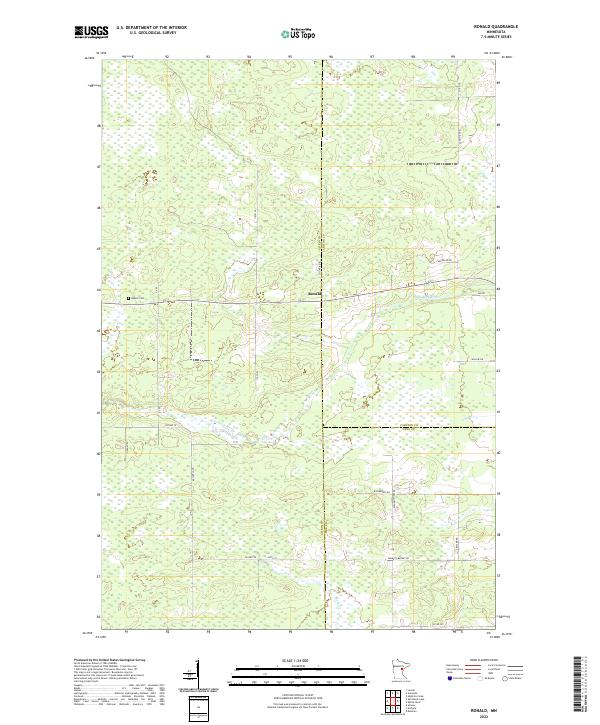
2022 Map of Ronald
USGS Topo · Published 2022About this map
Ronald serves as a central point in this northern landscape, situated where the borders of Aitkin, Carlton, and Pine counties meet. The area is defined by an extensive network of wetlands and small watercourses, with the Split Rock River winding through the central and southern sections. This 2022 survey illustrates a region largely characterized by its rural infrastructure, where long-established property lines of the Public Land Survey System organize the terrain into distinct townships. Local history is anchored by Beaver Cem, while the road names themselves hint at the area's development and character, featuring descriptive labels such as Wagon Wheel Rd, Settler Rd, and Farm To Market Rd. These routes provide the primary access through the marshy lowlands and wooded patches that dominate the quadrangle.
Find a feature on this map
23 named features on this map. Tap any name to fly to it.
Don’t see what you’re looking for? This feature index may not catch every label — zoom into the map to look around manually.
Map Details
Editions of this 2022 Ronald Map
This is the sole edition of this map. No revisions or reprints were ever made.
Other maps of this area

1953 · Duluth
USGS Topo · 1:250,000

1958 · Duluth
USGS Topo · 1:250,000

1961 · Cromwell
USGS Topo · 1:62,500

1961 · Moose Lake
USGS Topo · 1:62,500

1969 · Solana
USGS Topo · 1:24,000

1969 · Arthyde
USGS Topo · 1:24,000

1969 · Split Rock Lake
USGS Topo · 1:24,000

1969 · Ronald
USGS Topo · 1:24,000

1969 · Automba
USGS Topo · 1:24,000

1969 · Lawler
USGS Topo · 1:24,000