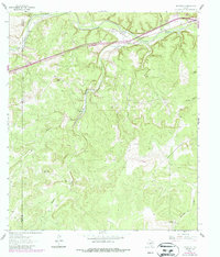
1962 Map of Roosevelt
USGS Topo · Published 1987About this map
Roosevelt sits at the northern edge of this West Texas landscape, where the North Llano River carves through the limestone plateau of western Kimble County. The terrain is defined by deep incisions like Buck Hollow and Deep Hollow, which funnel water toward the river valley. Further south, the landscape rises toward Patterson Ridge and the distinct opening at Mexican Gap.
Find a feature on this map
24 named features on this map. Tap any name to fly to it.
Don’t see what you’re looking for? This feature index may not catch every label — zoom into the map to look around manually.
Map Details
Editions of this 1962 Roosevelt Map
2 editions found

Other maps of this area

1893 · Rock Springs
USGS Topo · 1:125,000

1893 · Fort McKavett
USGS Topo · 1:125,000

1926 · Segovia 2-c
USGS Topo · 1:48,000

1932 · Junction
USGS Topo · 1:62,500

1954 · Llano
USGS Topo · 1:250,000

1954 · Sonora
USGS Topo · 1:250,000

1955 · Llano
USGS Topo · 1:250,000

1956 · Llano
USGS Topo · 1:250,000

1958 · Sonora
USGS Topo · 1:250,000

1962 · Hill Ranch
USGS Topo · 1:24,000