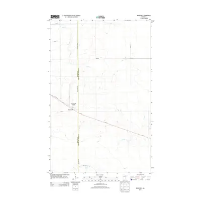
2013 Map of Roosevelt
USGS Topo · Published 2013About this map
The borderlands of northern Minnesota are defined by the small community of Roosevelt, which straddles the line between Roseau and Lake of the Woods counties. This remote settlement serves as a primary hub for the surrounding landscape of low-lying wetlands and forest, anchored by the Po and the community grounds of Roosevelt Park. The terrain is characterized by meandering watercourses, including Willow Cr in the west and Tomato Cr in the east, which drain toward the vast northern lakes. Navigation through this marshy interior is dictated by a handful of established routes like MN-11 and the Krull Forest Rd, while small water bodies such as Norquist Lake break up the thick vegetation. The presence of Mill St within the town center hints at the historical local industries that once supported this isolated frontier outpost.
Find a feature on this map
17 named features on this map. Tap any name to fly to it.
Don’t see what you’re looking for? This feature index may not catch every label — zoom into the map to look around manually.
Map Details
Editions of this 2013 Roosevelt Map
This is the sole edition of this map. No revisions or reprints were ever made.
Other maps of this area

1918 · Winterroad
USGS Topo · 1:62,500

1918 · Roosevelt
USGS Topo · 1:62,500

1918 · Williams
USGS Topo · 1:62,500

1919 · Peppermint Creek
USGS Topo · 1:62,500

1943 · Peppermint Creek
USGS Topo · 1:62,500

1943 · Roosevelt
USGS Topo · 1:62,500

1954 · Roseau
USGS Topo · 1:250,000

1957 · Roseau
USGS Topo · 1:250,000

1958 · Roseau
USGS Topo · 1:250,000

1967 · Williams
USGS Topo · 1:24,000