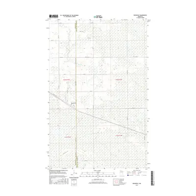
2016 Map of Roosevelt
USGS Topo · Published 2016About this map
Roosevelt sits along the shared border of Roseau and Lake of the Woods counties, serving as a gateway to the wetland-rich landscape of northern Minnesota. This 2016 survey highlights a grid of rural routes and forest trails, such as Cole Forest Rd and Krull Trl, that permeate the low-lying terrain south of the settlement. The hydrology of the region is defined by winding drainage systems including Willow Cr and Tomato Cr, which navigate the subtle elevation changes characteristic of this portion of the Red River Valley transition. Local travel is facilitated by a network of county roads including Co Rd 12 and Co St-Aid Hwy 8, reflecting the agricultural and timber-focused infrastructure that has shaped these township boundaries over decades.
Find a feature on this map
25 named features on this map. Tap any name to fly to it.
Don’t see what you’re looking for? This feature index may not catch every label — zoom into the map to look around manually.
Map Details
Editions of this 2016 Roosevelt Map
This is the sole edition of this map. No revisions or reprints were ever made.
Other maps of this area

1918 · Winterroad
USGS Topo · 1:62,500

1918 · Roosevelt
USGS Topo · 1:62,500

1918 · Williams
USGS Topo · 1:62,500

1919 · Peppermint Creek
USGS Topo · 1:62,500

1943 · Peppermint Creek
USGS Topo · 1:62,500

1943 · Roosevelt
USGS Topo · 1:62,500

1954 · Roseau
USGS Topo · 1:250,000

1957 · Roseau
USGS Topo · 1:250,000

1958 · Roseau
USGS Topo · 1:250,000

1967 · Williams
USGS Topo · 1:24,000