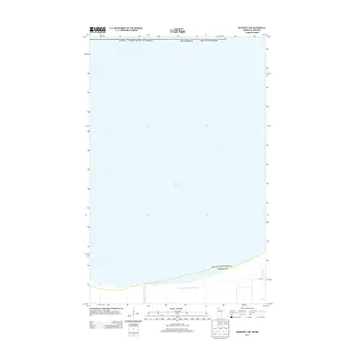
2013 Map of Roosevelt NW
USGS Topo · Published 2013About this map
Lake of the Woods dominates this northern landscape, covering the vast majority of the map area where the Canada / United States Of America international boundary is established across open water. Along the southern shoreline in Roseau County, the terrain shifts to managed wetlands and drainage systems. Water management is central to the land use here, defined by engineered features like County Ditch Number Twenty and County Ditch Number Twentysix that parallel the coast. Small tributaries such as Willow Cr feed into the lake, while 340th St provides one of the few road access points to this remote border region. This survey captures a moment in the modern era of the lake's geography, illustrating the precise intersection of international and county boundaries within this expansive aquatic environment.
Find a feature on this map
9 named features on this map. Tap any name to fly to it.
Don’t see what you’re looking for? This feature index may not catch every label — zoom into the map to look around manually.
Map Details
Editions of this 2013 Roosevelt NW Map
This is the sole edition of this map. No revisions or reprints were ever made.
Other maps of this area

1918 · Buffalo Bay
USGS Topo · 1:62,500

1918 · Roosevelt
USGS Topo · 1:62,500

1918 · Warroad
USGS Topo · 1:62,500

1943 · Roosevelt
USGS Topo · 1:62,500

1943 · Warroad
USGS Topo · 1:62,500

1954 · Roseau
USGS Topo · 1:250,000

1957 · Roseau
USGS Topo · 1:250,000

1958 · Roseau
USGS Topo · 1:250,000

1963 · Kenora
USGS Topo · 1:250,000

1967 · Roosevelt NW
USGS Topo · 1:24,000