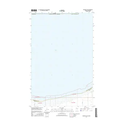
2016 Map of Roosevelt NW
USGS Topo · Published 2016About this map
Muskeg Bay and the vast waters of Lake of the Woods dominate this 2016 survey along the international border between the United States and Canada. The landscape is defined by its aquatic expanse and wetland shoreline at the intersection of Roseau and Lake of the Woods counties. Only a few secondary roads, such as 630th Ave and 675th Ave, penetrate the southern terrestrial margins of this quadrangle, illustrating the sparsely settled and remote nature of the northernmost reaches of Minnesota. The map meticulously delineates township and range lines, including t163n r36w and t162n r35w, which provide essential spatial context for researchers studying the historical land division of these northern borderlands.
Find a feature on this map
12 named features on this map. Tap any name to fly to it.
Don’t see what you’re looking for? This feature index may not catch every label — zoom into the map to look around manually.
Map Details
Editions of this 2016 Roosevelt NW Map
This is the sole edition of this map. No revisions or reprints were ever made.
Other maps of this area

1918 · Buffalo Bay
USGS Topo · 1:62,500

1918 · Roosevelt
USGS Topo · 1:62,500

1918 · Warroad
USGS Topo · 1:62,500

1943 · Roosevelt
USGS Topo · 1:62,500

1943 · Warroad
USGS Topo · 1:62,500

1954 · Roseau
USGS Topo · 1:250,000

1957 · Roseau
USGS Topo · 1:250,000

1958 · Roseau
USGS Topo · 1:250,000

1963 · Kenora
USGS Topo · 1:250,000

1967 · Roosevelt NW
USGS Topo · 1:24,000