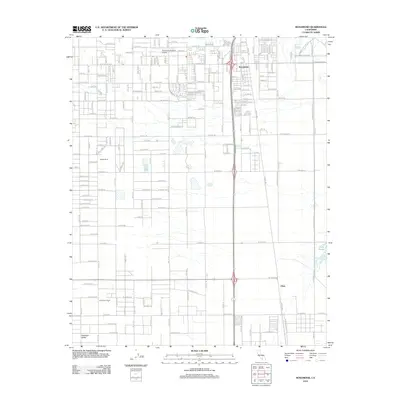
2012 Map of Rosamond
USGS Topo · Published 2012About this map
Antelope Valley serves as the backdrop for this geographic study of the high desert, centered on the growing community of Rosamond. The map reveals a transition from the structured residential grid around W Rosamond Blvd and the Po to the expansive desert flats to the east and south. In this landscape, aviation and military presence are prominent, with the Rosamond Skypark Airport situated near the town center and the western edges of the Edwards Air Force Sta dominating the eastern horizon. The southern reaches of the quadrangle are defined by a mix of agriculture and natural features, including the Gaskill Ranch and the A Andrews Ranch, while the Piute Ponds provide a rare riparian environment amidst the arid terrain. The settlement of Oban marks a distinct point along the eastern rail and highway corridor, illustrating the area's role as a transportation hub through the Mojave.
Find a feature on this map
90 named features on this map. Tap any name to fly to it.
Don’t see what you’re looking for? This feature index may not catch every label — zoom into the map to look around manually.
Map Details
Editions of this 2012 Rosamond Map
This is the sole edition of this map. No revisions or reprints were ever made.
Other maps of this area

1915 · Elizabeth Lake
USGS Topo · 1:125,000

1917 · Elizabeth Lake
USGS Topo · 1:125,000

1930 · Oban
USGS Topo · 1:24,000

1931 · Esperanza School
USGS Topo · 1:24,000

1933 · Oban
USGS Topo · 1:24,000

1934 · Esperanza School
USGS Topo · 1:24,000

1943 · Rosamond
USGS Topo · 1:62,500

1943 · Willow Springs
USGS Topo · 1:62,500
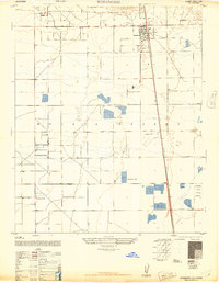
1947 · Rosamond
USGS Topo · 1:24,000
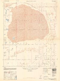
1947 · Rosamond Lake
USGS Topo · 1:24,000