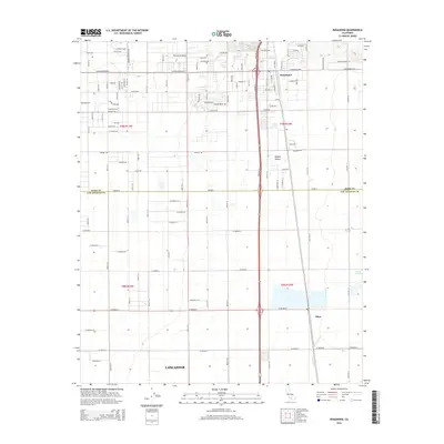
2015 Map of Rosamond
USGS Topo · Published 2015About this map
Rosamond serves as the primary hub of activity in this high desert landscape, straddling the line between Kern and Los Angeles counties. The grid-based growth of the community is evidenced by the residential streets and the Rosamond Skypark located just west of the main settlement. To the south, the northern reaches of Lancaster begin to appear, while the small settlement of Oban sits along the rail line, east of the winding Amargosa Cr. The environment is defined by the arid floor of the Mojave Desert, where the landscape transitions into the important wetland habitat of the Piute Ponds in the southeast. This survey illustrates the rigid section-line road network common to the region, including long stretches of W Avenue D and Gaskell Rd that connect isolated outposts to the growing suburban centers of the Antelope Valley.
Find a feature on this map
62 named features on this map. Tap any name to fly to it.
Don’t see what you’re looking for? This feature index may not catch every label — zoom into the map to look around manually.
Map Details
Editions of this 2015 Rosamond Map
This is the sole edition of this map. No revisions or reprints were ever made.
Other maps of this area

1915 · Elizabeth Lake
USGS Topo · 1:125,000

1917 · Elizabeth Lake
USGS Topo · 1:125,000

1930 · Oban
USGS Topo · 1:24,000

1931 · Esperanza School
USGS Topo · 1:24,000

1933 · Oban
USGS Topo · 1:24,000

1934 · Esperanza School
USGS Topo · 1:24,000

1943 · Rosamond
USGS Topo · 1:62,500

1943 · Willow Springs
USGS Topo · 1:62,500
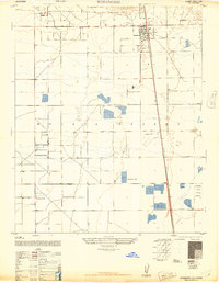
1947 · Rosamond
USGS Topo · 1:24,000
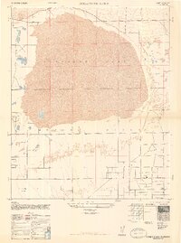
1947 · Rosamond Lake
USGS Topo · 1:24,000