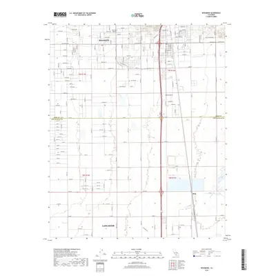
2018 Map of Rosamond
USGS Topo · Published 2018About this map
Rosamond and Lancaster anchor this section of the Antelope Valley, where the high desert landscape meets the expanding footprint of residential development and aerospace infrastructure. The map illustrates the grid-like expansion of northern Los Angeles County into southern Kern County, centered around the Rosamond Skypark and the major thoroughfare of Rosamond Blvd. The presence of industrial and aviation-themed street names like Felsite Ave and Rhyolite Ave suggests the region's connection to local geological resources and flight testing operations within the Mojave Desert.
Find a feature on this map
117 named features on this map. Tap any name to fly to it.
Don’t see what you’re looking for? This feature index may not catch every label — zoom into the map to look around manually.
Map Details
Editions of this 2018 Rosamond Map
This is the sole edition of this map. No revisions or reprints were ever made.
Other maps of this area

1915 · Elizabeth Lake
USGS Topo · 1:125,000

1917 · Elizabeth Lake
USGS Topo · 1:125,000

1930 · Oban
USGS Topo · 1:24,000

1931 · Esperanza School
USGS Topo · 1:24,000

1933 · Oban
USGS Topo · 1:24,000

1934 · Esperanza School
USGS Topo · 1:24,000

1943 · Rosamond
USGS Topo · 1:62,500

1943 · Willow Springs
USGS Topo · 1:62,500
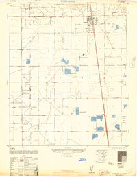
1947 · Rosamond
USGS Topo · 1:24,000
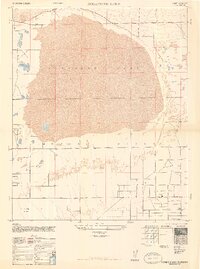
1947 · Rosamond Lake
USGS Topo · 1:24,000