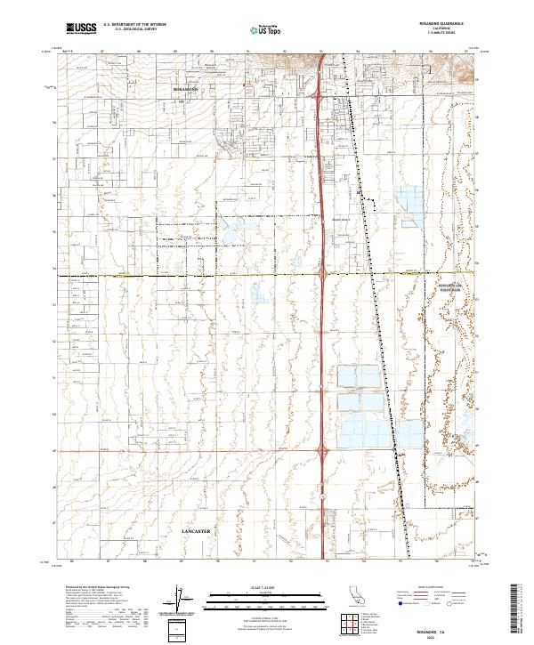
2022 Map of Rosamond
USGS Topo · Published 2022About this map
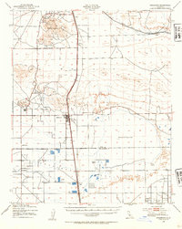
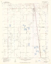
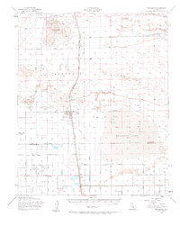
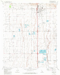
Rosamond and the northern reaches of Lancaster anchor this survey of the high desert along the border of Kern and Los Angeles counties. The landscape transitions from the residential and commercial grid of the Antelope Valley into the expansive Mojave Desert, where the drainages of Amargosa Cr cut through the terrain. The presence of the Rosamond Skypark and a dense network of local streets like Felsite Ave and Rhyolite Ave reflect the modern development of this aerospace-oriented corridor. East of the main settlement, the smaller locality of Oban sits along the rail line, providing a distinct focal point for local historians tracing the region's transport and settlement patterns. The map captures the interface between intensive suburban planning and the undeveloped arid basins that characterize this portion of Southern California.
Find a feature on this map
114 named features on this map. Tap any name to fly to it.
Don’t see what you’re looking for? This feature index may not catch every label — zoom into the map to look around manually.
Map Details
Editions of this 2022 Rosamond Map
This is the sole edition of this map. No revisions or reprints were ever made.
Historical Maps of Lancaster Through Time
5 maps found