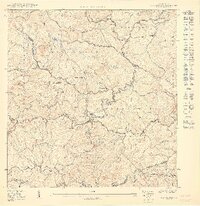
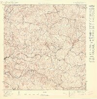
1950 Map of Rosario NE
USGS Topo · Published 1950About this map
Historic agricultural estates define this 1950 interior landscape of western Puerto Rico, where the boundaries of Mayagüez, Las Marías, and Maricao converge. The map documents a coffee-producing era through numerous named haciendas, such as Hacienda Esperanza, Hacienda Juanita, and Hacienda Veremos, which are strategically positioned along the steep ridges and narrow valleys. These family-named landholdings highlight the rural economic structure of the mid-20th century before significant industrialization moved inland.
Find a feature on this map
33 named features on this map. Tap any name to fly to it.
Don’t see what you’re looking for? This feature index may not catch every label — zoom into the map to look around manually.
Map Details
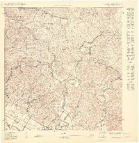
Editions of this 1950 Rosario NE Map
This is the sole edition of this map. No revisions or reprints were ever made.
Historical Maps of Parcelas San Carlos Through Time
15 maps found

1939 Mayaguez
Mayagüez Municipio, PR
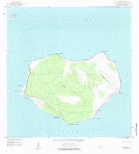
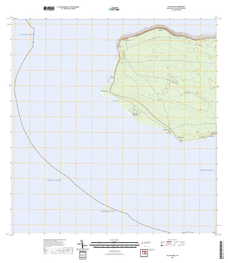
1944 Isla Mona
Mayagüez Municipio, PR
1947 Mayaguez
Mayagüez Municipio, PR
1950 Mayaguez NE
Mayagüez Municipio, PR

1950 Mayaguez SE
Mayagüez Municipio, PR
1950 Rosario NE
Mayagüez Municipio, PR
1950 Rosario NO
Mayagüez Municipio, PR
1950 Rosario SO
Mayagüez Municipio, PR

1955 Mayaguez
Mayagüez Municipio, PR
1964 Mayaguez
Mayagüez Municipio, PR
2024 Isla de Mona
Mayagüez Municipio, PR
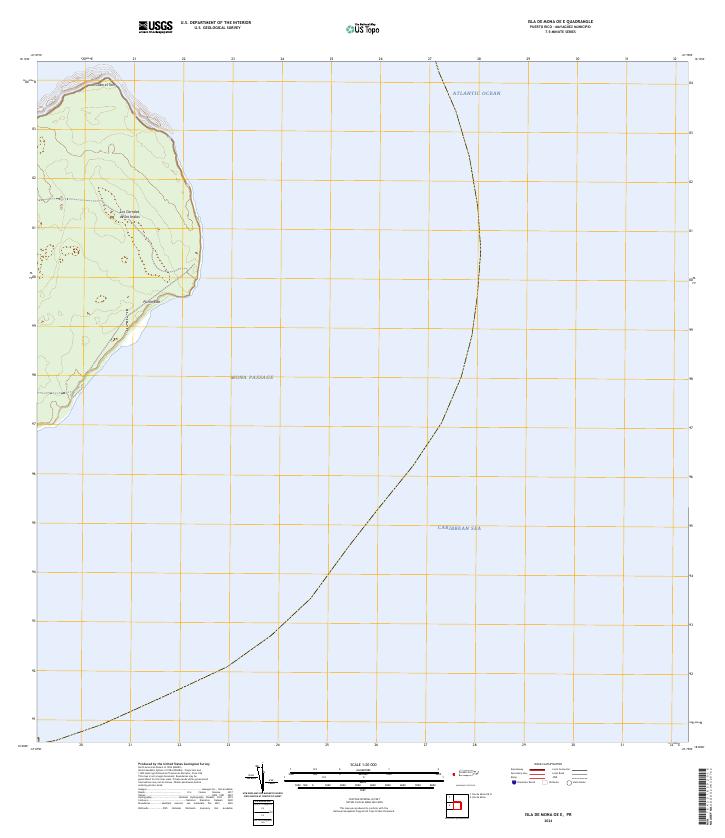
2024 Isla de Mona OE E
Mayagüez Municipio, PR
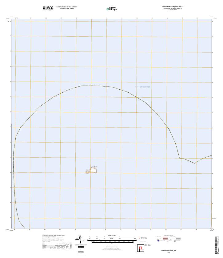
2024 Isla de Mona OE N
Mayagüez Municipio, PR
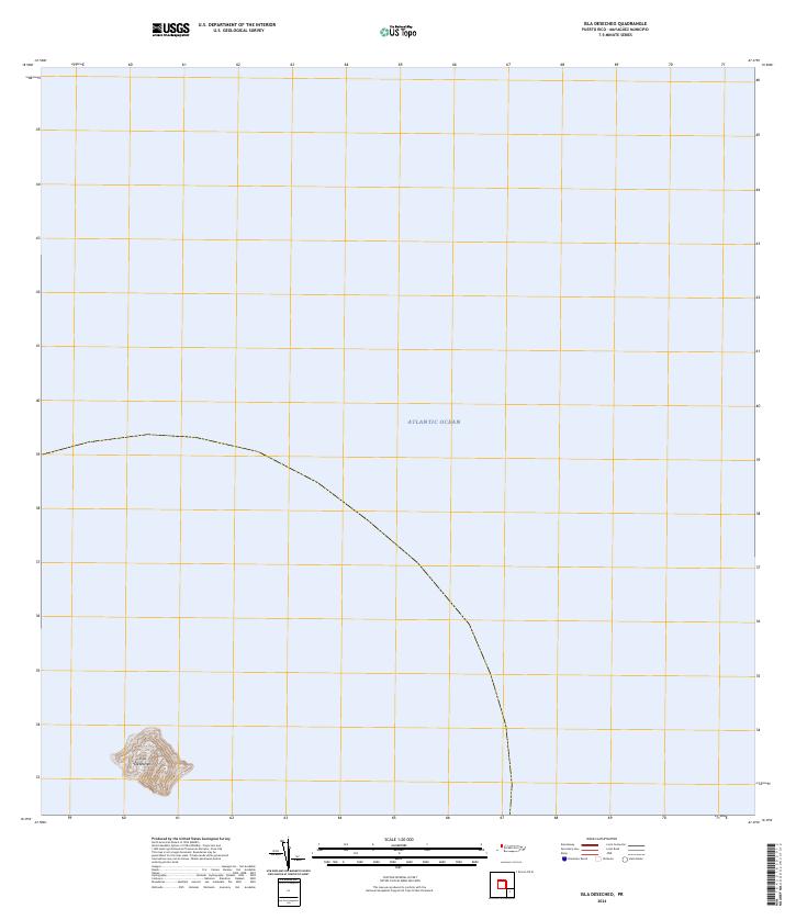
2024 Isla Desecheo
Mayagüez Municipio, PR
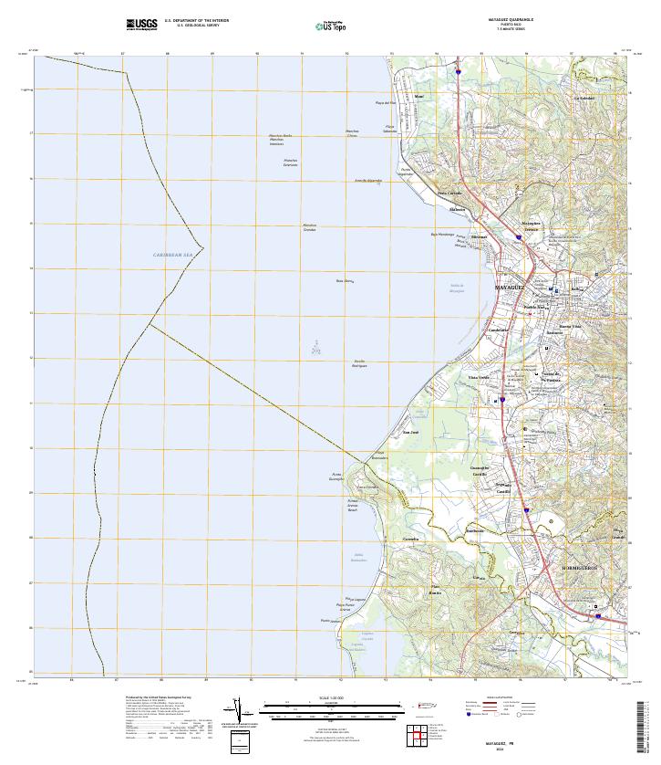
2024 Mayaguez
Mayagüez Municipio, PR
Featured Locations
- Mayagüez
- Sector Los Cosme, Las Marías
- Sector Los Martinel, Las Marías
- Comunidad La Isabel, Mayagüez
- Parcelas San Carlos, Mayagüez