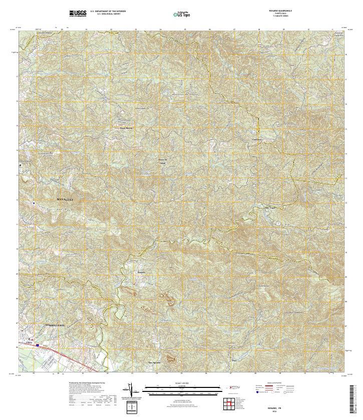
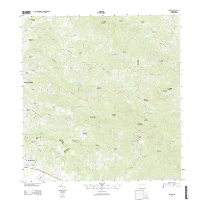
2024 Map of Rosario
USGS Topo · Published 2024About this map
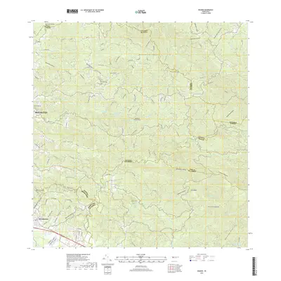
The town of Rosario serves as a central hub in this upland landscape where the municipal boundaries of Mayagüez, San Germán, and Maricao converge. The terrain is defined by the high ridges of the Montañas de Uroyan and the Cuchillas Aceitunas, dropping into deep valleys carved by the Río Rosario and Río Duey. The presence of established agricultural estates like Finca Marini and Finca La Corza reflects the region's long-standing coffee and produce tradition. To the west, the campus of the Universidad Adventista de las Antillas marks the transition toward the more developed coastal plains. The map details an intricate network of local roads and named residential clusters such as Las Vegas and San Agustín, showing how settlement follows the winding contours of the hills and the courses of the many quebradas that feed the regional reservoirs.
Find a feature on this map
74 named features on this map. Tap any name to fly to it.
Don’t see what you’re looking for? This feature index may not catch every label — zoom into the map to look around manually.
Map Details
Editions of this 2024 Rosario Map
This is the sole edition of this map. No revisions or reprints were ever made.
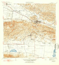
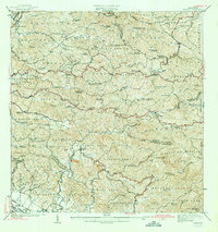
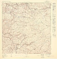
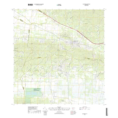
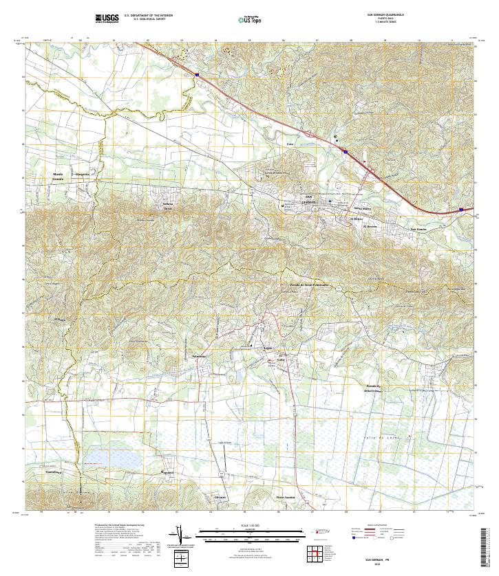
Historical Maps of Sector Los Limones Through Time
17 maps found

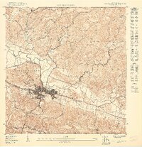
1937 San German
San Germán Municipio, PR

1941 Rosario
San Germán Municipio, PR
1941 San German
San Germán Municipio, PR
1942 Rosario
San Germán Municipio, PR
1950 Rosario SE
San Germán Municipio, PR
1950 San German NE
San Germán Municipio, PR

1950 San German NO
San Germán Municipio, PR

1955 Rosario
San Germán Municipio, PR

1957 San German
San Germán Municipio, PR

1964 Rosario
San Germán Municipio, PR
1966 San German
San Germán Municipio, PR
2013 Rosario
San Germán Municipio, PR
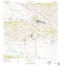
2013 San German
San Germán Municipio, PR
2018 Rosario
San Germán Municipio, PR
2018 San German
San Germán Municipio, PR
2024 Rosario
San Germán Municipio, PR
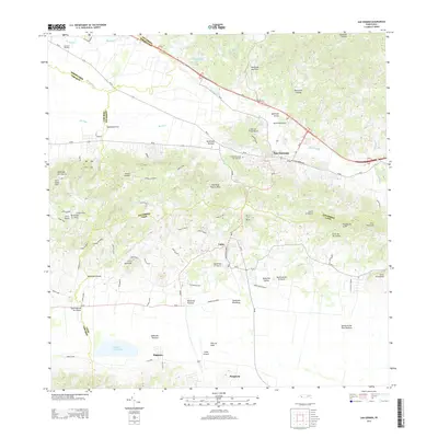
2024 San German
San Germán Municipio, PR
Featured Locations
- Urb. Mansiones La Monserrate, Hormigueros
- Vals Villco del Rosario, San Germán
- Sector Los Limones, Mayagüez
- Sector Pascual Perez, Mayagüez
- Reparto Adelina, Mayagüez