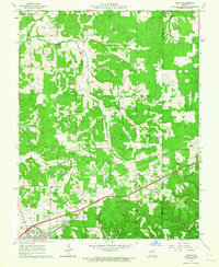
1963 Map of Rosati
USGS Topo · Published 1964About this map
The St Louis San Francisco railroad corridor anchors this mid-century topographic portrait of Phelps County, connecting the settlements of Rosati and St James. The landscape is a complex network of resource extraction and community landmarks, heavily dotted with numerous Claypits that reflect the region's industrial ties to fire clay mining. In the southwest corner, the State Federal Soldiers Home stands as a significant institutional landmark near the edge of St James, while the Rosati Lookout Tower overlooks the undulating terrain of Knob View.
Find a feature on this map
31 named features on this map. Tap any name to fly to it.
Don’t see what you’re looking for? This feature index may not catch every label — zoom into the map to look around manually.
Map Details
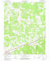
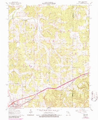
Editions of this 1963 Rosati Map
3 editions found
Other maps of this area

1903 · Sullivan
USGS Topo · 1:125,000

1928 · Meramec Spring
USGS Topo · 1:62,500

1932 · Steelville
USGS Topo · 1:48,000

1933 · Steelville
USGS Topo · 1:62,500

1934 · Redbird
USGS Topo · 1:62,500

1937 · Steelville
USGS Topo · 1:62,500

1938 · Redbird
USGS Topo · 1:62,500

1948 · Cuba
USGS Topo · 1:24,000

1948 · Oak Hill
USGS Topo · 1:24,000

1949 · Saint Louis
USGS Topo · 1:250,000