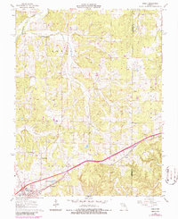
1963 Map of Rosati
USGS Topo · Published 1986About this map
Rosati and St James anchor the southern portion of this Missouri landscape, which is defined by the heavy presence of the extractive industry. Numerous Claypits and individual Claypit labels are scattered across the terrain, particularly near Dawson and the Knob View area, suggesting a specialized local economy centered on clay extraction. The St Louis - San Francisco railroad cuts diagonally through the southern townships, providing a critical transport link for these materials and connecting the residential areas of Schundler and the local Trailer Park.
Find a feature on this map
31 named features on this map. Tap any name to fly to it.
Don’t see what you’re looking for? This feature index may not catch every label — zoom into the map to look around manually.
Map Details
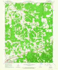
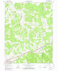
Editions of this 1963 Rosati Map
3 editions found
Other maps of this area

1903 · Sullivan
USGS Topo · 1:125,000

1928 · Meramec Spring
USGS Topo · 1:62,500

1932 · Steelville
USGS Topo · 1:48,000

1933 · Steelville
USGS Topo · 1:62,500

1934 · Redbird
USGS Topo · 1:62,500

1937 · Steelville
USGS Topo · 1:62,500

1938 · Redbird
USGS Topo · 1:62,500

1948 · Cuba
USGS Topo · 1:24,000

1948 · Oak Hill
USGS Topo · 1:24,000

1949 · Saint Louis
USGS Topo · 1:250,000