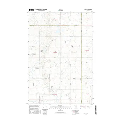
2016 Map of Rose City
USGS Topo · Published 2016About this map
Rose City and the nearby settlement of Spruce Center anchor this agricultural landscape in central Minnesota. Situated where the borders of Otter Tail, Douglas, and Todd counties converge, the area is defined by a dense network of watercourses and wetlands, including Long Prairie River at the southern edge. The map reveals a high concentration of community burial grounds, such as Esther Cem in the north and Spruce Hill Cem near the center, which serve as vital landmarks for tracing local family lineages. Drainage is provided by winding tributaries like Spruce Cr and Stormy Cr, which thread through the township sections. The road system is dominated by a grid of county roads and named lanes, including Dogwood Rd NE and Cattail Dr NE, illustrating the persistent 19th-century land division patterns still in use during this contemporary survey.
Find a feature on this map
64 named features on this map. Tap any name to fly to it.
Don’t see what you’re looking for? This feature index may not catch every label — zoom into the map to look around manually.
Map Details
Editions of this 2016 Rose City Map
This is the sole edition of this map. No revisions or reprints were ever made.
Other maps of this area

1953 · Brainerd
USGS Topo · 1:250,000

1953 · Saint Cloud
USGS Topo · 1:250,000

1957 · Brainerd
USGS Topo · 1:250,000

1957 · Saint Cloud
USGS Topo · 1:250,000

1958 · Saint Cloud
USGS Topo · 1:250,000

1958 · Brainerd
USGS Topo · 1:250,000

1965 · Brainerd
USGS Topo · 1:250,000

1966 · Lake Osakis East
USGS Topo · 1:24,000

1966 · Lake Osakis West
USGS Topo · 1:24,000

1966 · Alexandria East
USGS Topo · 1:24,000