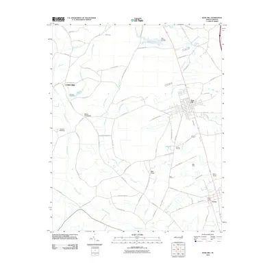
2010 Map of Rose Hill
USGS Topo · Published 2010About this map
Rose Hill and the neighboring community of Teachey serve as the primary hubs in this Duplin County landscape. The area is defined by a dense network of local roads and watercourses, including the meandering Rockfish Creek and Duff Creek. Notable local landmarks like the Rose Hill Speedway and Duplin Memorial Gardens reflect the cultural and community focal points of the early 21st century. Smaller named locales such as Brices Crossroads and Rosemary Crossing indicate established intersections that have likely served as neighborhood markers for generations. Genealogists may find value in the location of the Wells Cemetery and the Teachey Post Office, which anchor the historical record of these North Carolina settlements. The terrain is marked by numerous small branches and ponds, such as Johnsons Lake and New Kirk Pond, which are characteristic of the coastal plain's drainage patterns.
Find a feature on this map
71 named features on this map. Tap any name to fly to it.
Don’t see what you’re looking for? This feature index may not catch every label — zoom into the map to look around manually.
Map Details
Editions of this 2010 Rose Hill Map
This is the sole edition of this map. No revisions or reprints were ever made.
Other maps of this area

1942 · Burgaw
USGS Topo · 1:62,500

1943 · Kenansville
USGS Topo · 1:62,500

1948 · Kenansville
USGS Topo · 1:62,500

1953 · Florence
USGS Topo · 1:250,000

1953 · Beaufort
USGS Topo · 1:250,000

1954 · Florence
USGS Topo · 1:250,000

1954 · Beaufort
USGS Topo · 1:250,000

1955 · Atkinson
USGS Topo · 1:62,500

1962 · Rose Hill
USGS Topo · 1:62,500

1972 · Beaufort
USGS Topo · 1:250,000