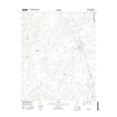
2016 Map of Rose Hill
USGS Topo · Published 2016About this map
The town of Rose Hill serves as a central hub in this Duplin County landscape, characterized by a transition from the structured grid of the town center to the wetlands and creek branches that define the surrounding coastal plain. Transportation corridors such as Yellow Cut Rd and Cornwallis Rd link smaller settlements like Teachey and Brices Crossroads. The hydrology of the region is prominent, with Rockfish Cr and Duff Cr meandering through the terrain, while man-made features like Johnsons Lake and Lake Tut indicate the management of local water resources. Genealogists and local historians will find value in landmarks such as Wells Cem and the Duplin Memorial Gardens, as well as the family names associated with the rural road network. The map reveals a rural economy shaped by proximity to the railroad and the fertile, albeit marshy, lands surrounding Rockfish Meadows and Bear Ford.
Find a feature on this map
116 named features on this map. Tap any name to fly to it.
Don’t see what you’re looking for? This feature index may not catch every label — zoom into the map to look around manually.
Map Details
Editions of this 2016 Rose Hill Map
This is the sole edition of this map. No revisions or reprints were ever made.
Other maps of this area

1942 · Burgaw
USGS Topo · 1:62,500

1943 · Kenansville
USGS Topo · 1:62,500

1948 · Kenansville
USGS Topo · 1:62,500

1953 · Florence
USGS Topo · 1:250,000

1953 · Beaufort
USGS Topo · 1:250,000

1954 · Florence
USGS Topo · 1:250,000

1954 · Beaufort
USGS Topo · 1:250,000

1955 · Atkinson
USGS Topo · 1:62,500

1962 · Rose Hill
USGS Topo · 1:62,500

1972 · Beaufort
USGS Topo · 1:250,000