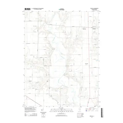
2015 Map of Rose Hill
USGS Topo · Published 2015About this map
The Embarras River meanders through this Jasper County landscape, creating a complex drainage network that includes Wolf Cr, Lick Cr, and Turkey Cr. In this mid-2010s survey, the small community of Rose Hill serves as a central point, situated near the neighboring settlement of Plainfield and the historic location of Falmouth. The map is particularly rich in genealogical data, preserving the locations of numerous family and community burial grounds such as Brick Cem, Songer Cem, and Gila Lutheran Cem. A mix of natural and man-made water features, including Glenn Lake and the newer Sam Parr Lake, defines the local geography. The grid of rural roads and section lines provides a clear framework for tracing property boundaries and the proximity of historic sites like Jordan Hill and the Coburn Cem to the winding riverbanks.
Find a feature on this map
77 named features on this map. Tap any name to fly to it.
Don’t see what you’re looking for? This feature index may not catch every label — zoom into the map to look around manually.
Map Details
Editions of this 2015 Rose Hill Map
This is the sole edition of this map. No revisions or reprints were ever made.
Other maps of this area

1940 · Greenup
USGS Topo · 1:62,500

1941 · Newton
USGS Topo · 1:62,500

1943 · Greenup
USGS Topo · 1:62,500

1943 · Newton
USGS Topo · 1:62,500

1953 · Teutopolis
USGS Topo · 1:62,500

1953 · Sailor Springs
USGS Topo · 1:62,500

1958 · Decatur
USGS Topo · 1:250,000

1958 · Belleville
USGS Topo · 1:250,000

1961 · Decatur
USGS Topo · 1:250,000

1962 · Belleville
USGS Topo · 1:250,000