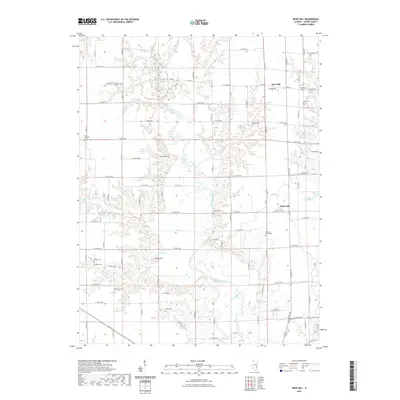
2021 Map of Rose Hill
USGS Topo · Published 2021About this map
The Embarras River meanders across this northern Jasper County landscape, carving a low-lying valley through the central corridor. The village of Rose Hill occupies the northeastern uplands, while the settlement of Falmouth sits further south along the eastern edge. The map reveals a high density of small family and community burial grounds that define the local genealogy, including Gila Lutheran Cem, Plainfield Cem, and Brick Cem. These sites, often situated at the ends of section roads or near creek branches like Wolf Cr and Mint Cr, point to the dispersed rural settlement pattern of the region.
Find a feature on this map
82 named features on this map. Tap any name to fly to it.
Don’t see what you’re looking for? This feature index may not catch every label — zoom into the map to look around manually.
Map Details
Editions of this 2021 Rose Hill Map
This is the sole edition of this map. No revisions or reprints were ever made.
Other maps of this area

1940 · Greenup
USGS Topo · 1:62,500

1941 · Newton
USGS Topo · 1:62,500

1943 · Greenup
USGS Topo · 1:62,500

1943 · Newton
USGS Topo · 1:62,500

1953 · Teutopolis
USGS Topo · 1:62,500

1953 · Sailor Springs
USGS Topo · 1:62,500

1958 · Decatur
USGS Topo · 1:250,000

1958 · Belleville
USGS Topo · 1:250,000

1961 · Decatur
USGS Topo · 1:250,000

1962 · Belleville
USGS Topo · 1:250,000