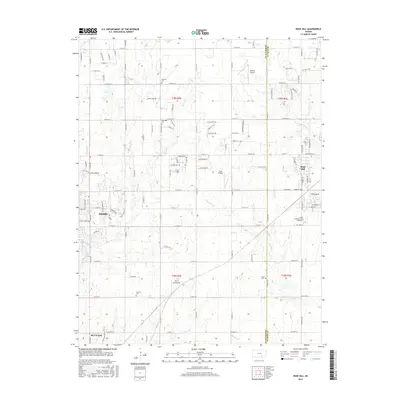
2015 Map of Rose Hill
USGS Topo · Published 2015About this map
Rose Hill and the eastern edge of Derby anchor this landscape along the Butler and Sedgwick County line. The map captures a transition between the suburban expansion of Wichita's satellite cities and the established agricultural grid of south-central Kansas. A notable concentration of small aviation facilities, including Cook Airfield, Vankirk Airport, and Olson Aerodrome, reflects the region's strong ties to general aviation. Educational and local history landmarks are well-represented, from the Butler Community College of Rose Hill to several rural burial grounds such as Branson Cem and Hillcrest Cem. The drainage patterns of Polecat Creek, Spring Creek, and Eightmile Creek create subtle topography across the sections, while the northern outskirts of Mulvane appear at the southern margin, showing the connectivity of these communities in the mid-2010s.
Find a feature on this map
105 named features on this map. Tap any name to fly to it.
Don’t see what you’re looking for? This feature index may not catch every label — zoom into the map to look around manually.
Map Details
Editions of this 2015 Rose Hill Map
This is the sole edition of this map. No revisions or reprints were ever made.
Other maps of this area

1889 · Wichita
USGS Topo · 1:125,000

1890 · Wellington
USGS Topo · 1:125,000

1894 · Wichita
USGS Topo · 1:125,000

1943 · Wichita East
USGS Topo · 1:31,680

1943 · Derby
USGS Topo · 1:31,680

1945 · Andover
USGS Topo · 1:31,680

1955 · Udall
USGS Topo · 1:24,000

1955 · Belle Plaine
USGS Topo · 1:24,000

1955 · Santa Fe Lake
USGS Topo · 1:24,000

1955 · Rose Hill
USGS Topo · 1:24,000