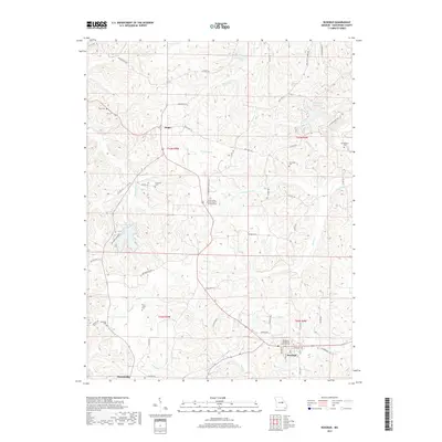
2017 Map of Rosebud
USGS Topo · Published 2017About this map
Drake and Rosebud serve as central hubs in this corner of Gasconade County, where the landscape is defined by the winding drainages of Boeuf Cr and its many tributaries. The area exhibits a dense network of country roads, such as Old State Rd and Nowack Rd, that connect scattered family cemeteries and rural parishes. Religious and genealogical history is prominent here, evidenced by the Immanual Evangelical Lutheran Cem near Rosebud and the Saint James United Church of Christ Cem further north. Water features like Lake Northwood and the Daisy Valley Reservoir provide localized landmarks amidst the dissected topography. In the southwest, the outskirts of Owensville appear, showing the transition from town lots to the broader agricultural and wooded sections of the Missouri countryside.
Find a feature on this map
64 named features on this map. Tap any name to fly to it.
Don’t see what you’re looking for? This feature index may not catch every label — zoom into the map to look around manually.
Map Details
Editions of this 2017 Rosebud Map
This is the sole edition of this map. No revisions or reprints were ever made.
Other maps of this area

1890 · Hermann
USGS Topo · 1:125,000

1890 · Fulton
USGS Topo · 1:125,000

1903 · Sullivan
USGS Topo · 1:125,000

1934 · Bland
USGS Topo · 1:62,500

1935 · Gerald
USGS Topo · 1:48,000

1935 · Morrison
USGS Topo · 1:48,000

1936 · Hermann
USGS Topo · 1:48,000

1937 · Bland
USGS Topo · 1:62,500

1941 · Gerald
USGS Topo · 1:62,500

1942 · Morrison
USGS Topo · 1:62,500