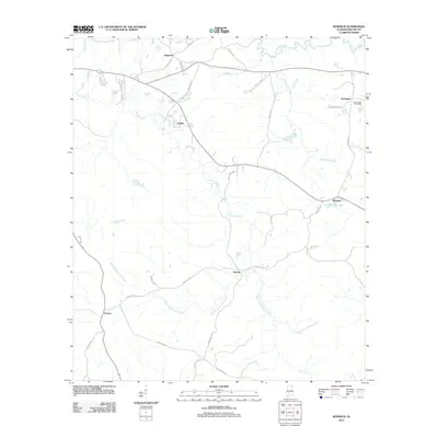
2011 Map of Rosebud
USGS Topo · Published 2011About this map
Fatama and Neenah anchor the southern reach of this Wilcox County landscape, where the topography is defined by the branching waters of Pursley Creek. The map reveals a rural settlement pattern centered on quiet crossroads and established postal hubs, most notably at the Darlington Post Office in the northeast. This area maintains a strong connection to its early 21st-century agricultural and timber roots, with numerous local routes like Neenah Hill Rd and Fire Tower Rd providing access to the interior hills and creek bottoms.
Find a feature on this map
36 named features on this map. Tap any name to fly to it.
Don’t see what you’re looking for? This feature index may not catch every label — zoom into the map to look around manually.
Map Details
Editions of this 2011 Rosebud Map
This is the sole edition of this map. No revisions or reprints were ever made.
Other maps of this area

1953 · Montgomery
USGS Topo · 1:250,000

1953 · Andalusia
USGS Topo · 1:250,000

1956 · Montgomery
USGS Topo · 1:250,000

1957 · Montgomery
USGS Topo · 1:250,000

1957 · Andalusia
USGS Topo · 1:250,000

1957 · Carlowville
USGS Topo · 1:62,500

1973 · Camden South
USGS Topo · 1:24,000

1973 · Vredenburgh
USGS Topo · 1:24,000
1974 · Camden North
USGS Topo · 1:24,000
1981 · Rosebud
USGS Topo · 1:24,000