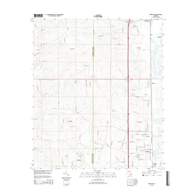
2015 Map of Roseland
USGS Topo · Published 2015About this map
The Tangipahoa River carves a path through the eastern edge of this landscape, defining the character of north-central Louisiana. This survey details the transition from the rolling woodlands and creek drainages of St. Helena Parish in the west to the more densely settled corridor of Tangipahoa Parish in the east. The primary north-south transit spine links the towns of Tangipahoa, Fluker, Arcola, and Roseland, where local roads like Gutteau Mill Rd suggest the region's agricultural and industrial ties. Numerous family and community burial grounds, including the Arcola-Roseland Cem and Watson Cem, are scattered across the quadrangle, serving as vital landmarks for genealogical research. The intricate network of small waterways, such as Natalbany Cr and W Natalbany Cr, dictates the placement of rural homesteads and farms throughout this region.
Find a feature on this map
106 named features on this map. Tap any name to fly to it.
Don’t see what you’re looking for? This feature index may not catch every label — zoom into the map to look around manually.
Map Details
Editions of this 2015 Roseland Map
This is the sole edition of this map. No revisions or reprints were ever made.
Other maps of this area

1940 · Spring Creek
USGS Topo · 1:31,680

1940 · Roseland
USGS Topo · 1:31,680

1942 · Roseland
USGS Topo · 1:31,680

1942 · Montpelier
USGS Topo · 1:31,680

1942 · Liverpool
USGS Topo · 1:31,680

1942 · Loranger
USGS Topo · 1:31,680

1949 · Bolivar
USGS Topo · 1:31,680

1949 · Amite
USGS Topo · 1:31,680

1950 · Kentwood
USGS Topo · 1:31,680

1950 · Greensburg
USGS Topo · 1:31,680