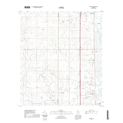
2020 Map of Roseland
USGS Topo · Published 2020About this map
Roseland and the northern outskirts of Amite City anchor this portion of Tangipahoa Parish, where the local economy and settlement patterns are defined by the Tangipahoa River and its numerous tributaries. The landscape is a network of small creeks like Natalbany Cr and Little Natalbany Cr, interspersed with numerous family and community landmarks that reflect the deep roots of the area. Genealogists will find a high concentration of burial sites, from the Arcola Roseland Cem to smaller plots like the Cheramie Family Cem and Watson Cem. North of the larger towns, smaller communities such as Arcola, Fluker, and Tangipahoa line the transit corridor, while Kedron sits further west near the St. Helena Parish line. The map reveals how local roads like Handy Rd and Parish Rd 5 connect these dispersed rural settlements to the parish’s larger population centers.
Find a feature on this map
102 named features on this map. Tap any name to fly to it.
Don’t see what you’re looking for? This feature index may not catch every label — zoom into the map to look around manually.
Map Details
Editions of this 2020 Roseland Map
This is the sole edition of this map. No revisions or reprints were ever made.
Other maps of this area

1940 · Spring Creek
USGS Topo · 1:31,680

1940 · Roseland
USGS Topo · 1:31,680

1942 · Roseland
USGS Topo · 1:31,680

1942 · Montpelier
USGS Topo · 1:31,680

1942 · Liverpool
USGS Topo · 1:31,680

1942 · Loranger
USGS Topo · 1:31,680

1949 · Bolivar
USGS Topo · 1:31,680

1949 · Amite
USGS Topo · 1:31,680

1950 · Kentwood
USGS Topo · 1:31,680

1950 · Greensburg
USGS Topo · 1:31,680