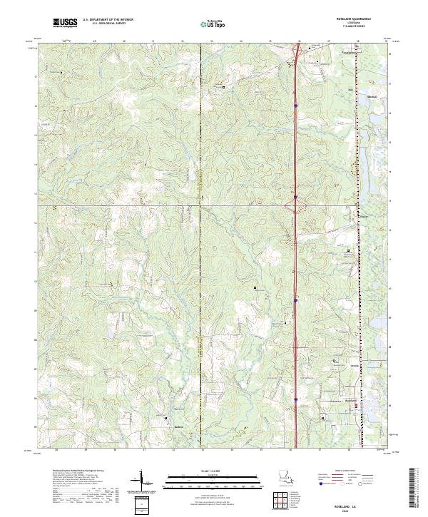
2024 Map of Roseland
USGS Topo · Published 2024About this map
The Tangipahoa River carves the eastern boundary of this landscape, framing a series of rural communities that grew along the rail and road corridors of Tangipahoa Parish. In the southern portion of the map, the adjacent settlements of Roseland and Arcola are defined by a dense grid of streets and numerous family and community burial grounds, including the Arcola Roseland Cem and the First Baptist Church of Arcola Cem. This area reveals a significant concentration of local heritage sites, from the Big Zion Cem near the southern edge to the Community Missionary Baptist Cem further north.
Find a feature on this map
104 named features on this map. Tap any name to fly to it.
Don’t see what you’re looking for? This feature index may not catch every label — zoom into the map to look around manually.
Map Details
Editions of this 2024 Roseland Map
This is the sole edition of this map. No revisions or reprints were ever made.
Other maps of this area

1940 · Spring Creek
USGS Topo · 1:31,680

1940 · Roseland
USGS Topo · 1:31,680

1942 · Roseland
USGS Topo · 1:31,680

1942 · Montpelier
USGS Topo · 1:31,680

1942 · Liverpool
USGS Topo · 1:31,680

1942 · Loranger
USGS Topo · 1:31,680

1949 · Bolivar
USGS Topo · 1:31,680

1949 · Amite
USGS Topo · 1:31,680

1950 · Kentwood
USGS Topo · 1:31,680

1950 · Greensburg
USGS Topo · 1:31,680