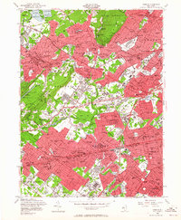
1955 Map of Roselle
USGS Topo · Published 1964About this map
South Mountain Reservation and the Watchung Reservation anchor this mid-century portrait of suburban expansion in Union and Essex Counties. The urban grid is dense across Roselle Park, Summit, and Maplewood, yet it is strikingly punctuated by extensive green belts and water resources like Canoe Brook and Reservoir No 1. The map documents a landscape of established institutions and recreation, featuring numerous golf courses and schools such as Our Lady of Sorrows Sch and Kent Place Sch. Industrial and logistical hubs are evident through the Baltusrol Quarry and the sprawling corridors of the Lackawanna RR and Lehigh Valley RR. This 1955 revision, based on wartime photography, illustrates the rapid maturation of the suburban corridor just before the full impact of the interstate highway system, as the Garden State Parkway and New Jersey Turnpike begin to redefine local movement.
Find a feature on this map
113 named features on this map. Tap any name to fly to it.
Don’t see what you’re looking for? This feature index may not catch every label — zoom into the map to look around manually.
Map Details
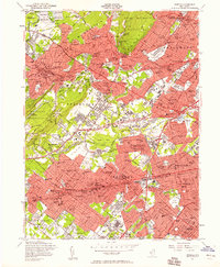
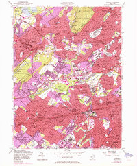
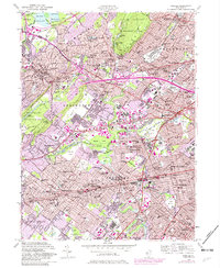
Editions of this 1955 Roselle Map
4 editions found
Other maps of this area

1888 · Plainfield
USGS Topo · 1:62,500

1888 · Morristown
USGS Topo · 1:62,500

1888 · Paterson
USGS Topo · 1:62,500

1892 · Paterson
USGS Topo · 1:62,500

1893 · Plainfield
USGS Topo · 1:62,500

1894 · Morristown
USGS Topo · 1:62,500

1898 · Morristown
USGS Topo · 1:62,500

1898 · Plainfield
USGS Topo · 1:62,500

1898 · Staten Island
USGS Topo · 1:62,500

1898 · Paterson
USGS Topo · 1:62,500