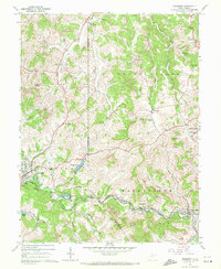
1960 Map of Rosemont
USGS Topo · Published 1972About this map
Simpson Creek carves a path through the rolling West Virginia hills, anchoring a landscape defined by coal mining and mid-century transport. Along the Baltimore and Ohio rail line, the industrial character of the region is evident in the numerous strip mines and the mine tipple near Flemington. These operations are interspersed with established community centers like Rosemont and Baileytown, where local life centered around landmarks such as Baileytown Ch and the Court House school.
Find a feature on this map
64 named features on this map. Tap any name to fly to it.
Don’t see what you’re looking for? This feature index may not catch every label — zoom into the map to look around manually.
Map Details
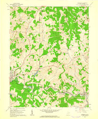
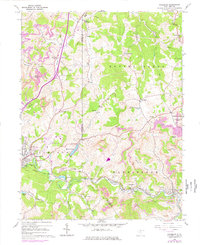
Editions of this 1960 Rosemont Map
3 editions found
Other maps of this area

1902 · Clarksburg
USGS Topo · 1:62,500

1902 · Fairmont
USGS Topo · 1:62,500

1904 · Philippi
USGS Topo · 1:62,500

1904 · Weston
USGS Topo · 1:62,500

1910 · Clarksburg
USGS Topo · 1:62,500

1923 · Fairmont
USGS Topo · 1:62,500

1923 · Clarksburg
USGS Topo · 1:62,500

1925 · Clarksburg
USGS Topo · 1:62,500

1925 · Philippi
USGS Topo · 1:62,500

1926 · Fairmont
USGS Topo · 1:62,500