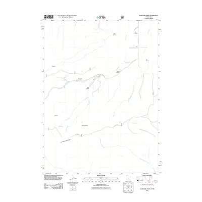
2011 Map of Rosevere Point
USGS Topo · Published 2011About this map
The Raft River Mountains dominate the southern portion of this high-elevation landscape in Box Elder County, where the terrain transitions from steep peaks to canyon-cut valleys. The drainage system is defined by Clear Creek and its various tributaries, including the Right Fork Clear Creek and the Rosevere Fork. These water sources were central to the area's utility, supporting both the Clear Creek Campground and the Clear Creek Cemetery located further north along Clear Creek Rd. Natural landmarks such as Rosevere Point, the Pinnacle, and Bull Lake illustrate the area's complex topography. Evidence of seasonal water and remote resource management appears in labels like Hidden Spring and Bull Flat, while several deep canyons including Water Canyon and Jim Canyon cut through the northern ridges, showing how the local geography guided movement and settlement patterns along the Idaho-Utah border.
Find a feature on this map
24 named features on this map. Tap any name to fly to it.
Don’t see what you’re looking for? This feature index may not catch every label — zoom into the map to look around manually.
Map Details
Editions of this 2011 Rosevere Point Map
This is the sole edition of this map. No revisions or reprints were ever made.
Other maps of this area

1954 · Pocatello
USGS Topo · 1:250,000

1954 · Brigham City
USGS Topo · 1:250,000

1958 · Pocatello
USGS Topo · 1:250,000

1958 · Brigham City
USGS Topo · 1:250,000

1959 · Strevell
USGS Topo · 1:62,500

1959 · Kelton Pass
USGS Topo · 1:62,500

1959 · Park Valley
USGS Topo · 1:62,500

1962 · Brigham City
USGS Topo · 1:250,000

1968 · Naf
USGS Topo · 1:24,000

1968 · Chokecherry Canyon
USGS Topo · 1:24,000