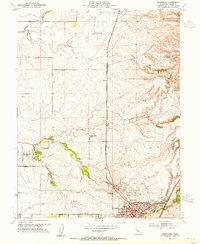
1953 Map of Roseville
USGS Topo · Published 1955About this map
The growing town of Roseville sits at the intersection of the Southern Pacific railroad lines, serving as a vital transportation and agricultural hub in the mid-1950s. The landscape is defined by a series of southwest-flowing waterways, including Antelope Creek, Miners Ravine, and Pleasant Grove Creek, which carve through the terrain between the central valley floor and the rising slopes of Telegraph Hill. Large ranching properties and orchards characterize the surrounding countryside, with several family-named estates like the W F Fiddyment Ranch and Diamond K Ranch marking the local topography. Social and community life is anchored by the County Fairgrounds, the Sierra View Country Club, and central institutions such as the Woodbridge Sch and the city Library. The presence of numerous wells, windmills, and a Gaging Sta on Pleasant Grove Creek reflects the area's intensive focus on water management and irrigation during this period of development.
Find a feature on this map
32 named features on this map. Tap any name to fly to it.
Don’t see what you’re looking for? This feature index may not catch every label — zoom into the map to look around manually.
Map Details
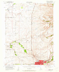
Editions of this 1953 Roseville Map
2 editions found
Other maps of this area

1891 · Sacramento
USGS Topo · 1:125,000

1892 · Sacramento
USGS Topo · 1:125,000

1893 · Sacramento
USGS Topo · 1:125,000

1902 · Fairoaks
USGS Topo · 1:62,500

1910 · Sheridan
USGS Topo · 1:31,680

1910 · Lincoln
USGS Topo · 1:31,680

1910 · Roseville
USGS Topo · 1:31,680

1910 · Pleasant Grove
USGS Topo · 1:31,680

1911 · Arcade
USGS Topo · 1:31,680

1911 · Antelope
USGS Topo · 1:31,680