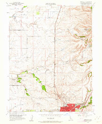
1953 Map of Roseville
USGS Topo · Published 1962About this map
Roseville sits at a geographic crossroads in the early 1950s, where the rising suburban footprint meets established Placer County agriculture. The city center is dense with civil infrastructure, including the Woodbridge Sch, the local Library, and the County Fairgrounds, all situated near the bustling Southern Pacific rail lines. To the north and west, the landscape transitions into large working estates such as the W F Fiddyment Ranch and Diamond K Ranch, illustrating the region's ranching heritage before widespread residential expansion.
Find a feature on this map
41 named features on this map. Tap any name to fly to it.
Don’t see what you’re looking for? This feature index may not catch every label — zoom into the map to look around manually.
Map Details
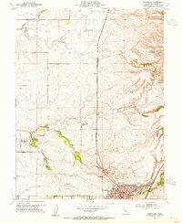
Editions of this 1953 Roseville Map
2 editions found
Other maps of this area

1891 · Sacramento
USGS Topo · 1:125,000

1892 · Sacramento
USGS Topo · 1:125,000

1893 · Sacramento
USGS Topo · 1:125,000

1902 · Fairoaks
USGS Topo · 1:62,500

1910 · Sheridan
USGS Topo · 1:31,680

1910 · Lincoln
USGS Topo · 1:31,680

1910 · Roseville
USGS Topo · 1:31,680

1910 · Pleasant Grove
USGS Topo · 1:31,680

1911 · Arcade
USGS Topo · 1:31,680

1911 · Antelope
USGS Topo · 1:31,680