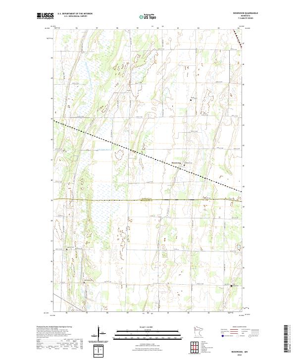
2022 Map of Rosewood
USGS Topo · Published 2022About this map
The settlement of Rosewood sits at the intersection of agricultural grid-lines and the winding waters of the S Br Snake River. This landscape in the Red River Valley is defined by a rigorous network of drainage infrastructure, most notably the Main Judicial Ditch Number Fifteen, which cuts a straight line through the northern sections to manage the region's flat, prairie wetlands. The map spans the border between Marshall Co and Pennington Co, illustrating how early 20th-century land management transformed the area into productive farmland.
Find a feature on this map
50 named features on this map. Tap any name to fly to it.
Don’t see what you’re looking for? This feature index may not catch every label — zoom into the map to look around manually.
Map Details
Editions of this 2022 Rosewood Map
This is the sole edition of this map. No revisions or reprints were ever made.
Other maps of this area

1918 · Viking
USGS Topo · 1:62,500

1918 · Middle River
USGS Topo · 1:62,500

1943 · Thief River Falls
USGS Topo · 1:62,500

1952 · Thief River Falls
USGS Topo · 1:250,000

1956 · Thief River Falls
USGS Topo · 1:250,000

1957 · Thief River Falls
USGS Topo · 1:250,000

1957 · Newfolden
USGS Topo · 1:62,500

1959 · Viking
USGS Topo · 1:24,000

1959 · Rosewood
USGS Topo · 1:24,000
1959 · Viking SW
USGS Topo · 1:24,000