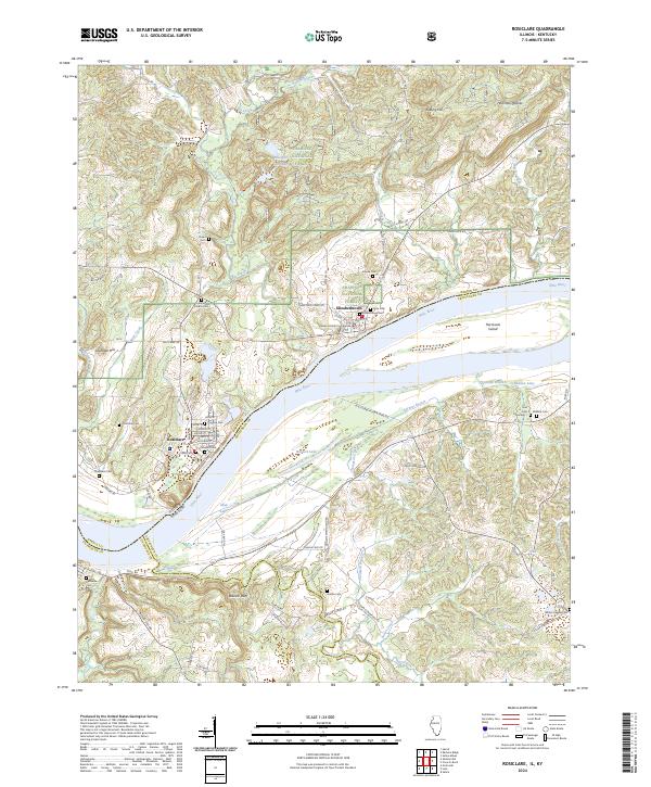
2024 Map of Rosiclare
USGS Topo · Published 2024About this map
The Ohio River serves as the dominant geographical and historical axis for this region of the Illinois-Kentucky border. Along its northern banks, the riverfront settlements of Elizabethtown and Rosiclare define the local human geography, with the Hardin County Courthouse standing as a central civic landmark in Elizabethtown. The landscape is characterized by the complex drainage systems of Big Creek and Hogthief Creek, while the expansive Shawnee National Forest covers much of the northern interior. For genealogists, the map is remarkably dense with family-named burial sites, including Dixon Cem, Critchlow Cem, and Shephard Cem, alongside the uniquely named Fluorine Cem which hints at the area's specialized mining history. Notable river features like Hurricane Island and topographical landmarks such as Watson Bluff and Keeling Hill provide a clear view of the relationship between the river's path and the surrounding southern Illinois uplands.
Find a feature on this map
81 named features on this map. Tap any name to fly to it.
Don’t see what you’re looking for? This feature index may not catch every label — zoom into the map to look around manually.
Map Details
Editions of this 2024 Rosiclare Map
This is the sole edition of this map. No revisions or reprints were ever made.
Other maps of this area

1916 · Shawneetown
USGS Topo · 1:62,500

1916 · Fords Ferry
USGS Topo · 1:62,500

1916 · Golconda
USGS Topo · 1:62,500

1916 · Equality
USGS Topo · 1:62,500

1920 · Goloonda
USGS Topo · 1:48,000

1921 · Fords Ferry
USGS Topo · 1:48,000

1921 · Golconda
USGS Topo · 1:62,500

1925 · Cave In Rock
USGS Topo · 1:62,500

1949 · Paducah
USGS Topo · 1:250,000

1950 · Paducah
USGS Topo · 1:250,000